
Fichier:SutherlandTraditional.png
Pas de plus haute résolution disponible.
SutherlandTraditional.png (420 × 520 pixels, taille du fichier : 12 kio, type MIME : image/png)
Ce fichier et sa description proviennent de Wikimedia Commons.
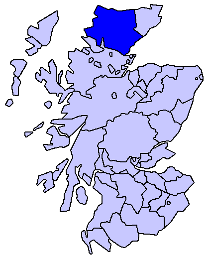
Sutherland county
Enlarged version of a map originally drawn by Morwen

|
Vous avez la permission de copier, distribuer et modifier ce document selon les termes de la GNU Free Documentation License version 1.2 ou toute version ultérieure publiée par la Free Software Foundation, sans sections inaltérables, sans texte de première page de couverture et sans texte de dernière page de couverture. Un exemplaire de la licence est inclus dans la section intitulée GNU Free Documentation License. |
| Ce fichier est disponible selon les termes de la licence Creative Commons Attribution – Partage dans les Mêmes Conditions 3.0 (non transposée). | ||
| ||
| Ce bandeau de licence a été ajouté à ce fichier dans le cadre de la procédure de mise à jour des licences des images sous GFDL. |
Historique du fichier
Cliquer sur une date et heure pour voir le fichier tel qu'il était à ce moment-là.
| Date et heure | Vignette | Dimensions | Utilisateur | Commentaire | |
|---|---|---|---|---|---|
| actuel | 18 mai 2005 à 18:23 | | 420 × 520 (12 kio) | Voyager | Sutherland county Enlarged version of a map originally drawn by Morwen {{GFDL}} Category:Maps of Scottish traditional counties |
Utilisation du fichier
La page suivante utilise ce fichier :
Usage global du fichier
Les autres wikis suivants utilisent ce fichier :
- Utilisation sur de.wikipedia.org
- Utilisation sur eo.wikipedia.org
- Utilisation sur eu.wikipedia.org
- Inverness
- Highland
- Eskoziako Lur Garaiak
- Fort William (Eskozia)
- Eilean Donan
- Lankide:Euskaldunaa
- Kyle of Lochalsh
- Ullapool
- Nairn
- Portree
- Broadford (Eskozia)
- John o' Groats
- Kingussie
- Aviemore
- Kyleakin
- Glenfinnan
- Dornoch
- Thurso (Eskozia)
- Txantiloi:Highland
- Alness
- Brora
- Dingwall
- Fortrose
- Grantown-on-Spey
- Invergordon
- Inverlochy (Highland)
- Mallaig
- Tain
- Wick (Caithness)
- Abernethy and Kincardine
- Achnahannet (Strathspey)
- Advie
- Alvie
- Arpafeelie
- Artafallie
- Aundorach
- Avielochan
- Avoch
- Boat of Garten
- Bogroy
- Bishop Kinkell
- Carrbridge
- Catlodge
- Charlestown (Black Isle)
- Coylumbridge
- Conon Bridge
- Croftnacreich
- Cromarty
Voir davantage sur l’utilisation globale de ce fichier.